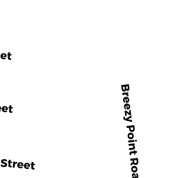
119 BREEZY POINT RD
Owner Information
LEONE JOHN A TR
47 HAMILTON ST
BRAINTREE, MA 02184 4113


Property Details
119 BREEZY POINT RD is classified as a Single Family Residential (Ranch).
The primary structure on this property was built in 1950. There are 1,026ft2 of built area within this property. There is 858ft2 of residential/living space within this property.
119 BREEZY POINT RD is valued at $269,900. The land is valued at $133,300 and the structures are valued at $133,800. There is an additional valuation of $2,800 on this property.
The most recent deed for 119 BREEZY POINT RD is recorded at the local registrar in Book 15299, Page 295. 119 BREEZY POINT RD was last sold on Wednesday, June 26, 2002 for $1.
Assessment data from fiscal year 2022.
Flood Data
This property is completely within the AE Zone (within floodplain).
The base flood elevation for this flood zone is 11 feet.
This information is sourced from the FEMA National Flood Hazard Layer. See our full disclamer.
Broadband Internet Providers
| Provider | Type | Bandwidth (mbps) | |
|---|---|---|---|
| HughesNet | Satellite | 25 | 3 |
| GCI Communication Corp. | Satellite | 0 | 0 |
| Comcast | Cable | 1000 | 35 |
| VSAT Systems, LLC. | Satellite | 2 | 1 |
| Verizon New England Inc. | DSL | 1 | 0 |
| Viasat Inc | Satellite | 35 | 3 |
Broadband service provider data from December 2020.